
5 Ways Satellite Tech Enhances Remote Expeditions
Heading out into the wild unknown used to mean braving the elements with little more than a compass and a paper map—talk about *old school*. But now, thanks to the magic of satellite technology, we're not just wandering into the great unknown; we're doing it with a high-tech safety net.
Imagine texting from the top of Everest or navigating the Amazon with live updates. Sounds like a scene from a sci-fi movie, right? Well, welcome to the future of remote expeditions, where the impossible becomes possible, and getting lost is so last century.
In today's chat, we're diving into five game-changing ways satellite tech is revolutionizing remote adventures.
From keeping you chit-chatting in the most isolated spots to ensuring you don't take an unexpected swim in uncharted territories, we've got you covered. And let's not forget about those all-important weather updates—because who wants their sunny expedition turning into a remake of *The Day After Tomorrow*?
Not only does this tech mean safer explorations, but it also opens the door to some seriously cool discoveries. Think Indiana Jones, but with better gadgets and less running from boulders.
So, whether you're a seasoned explorer or a curious newbie, let's dive in and see how satellite tech is making the wild a little less wild and a lot more accessible.
Fancy being a part of this high-tech adventure? What's the one gadget you wouldn't want to leave behind on a remote expedition? Share your thoughts, and let's geek out together over the wonders of modern exploration tech!
Reliable Communication in Remote Areas
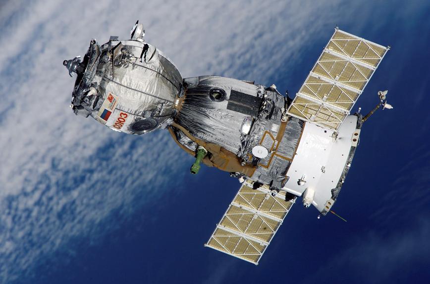
Ensuring secure and reliable communication in areas far from the hustle and bustle of city life is vital for the safety and effectiveness of journeys through uncharted and secluded spots. Previously, these regions presented significant obstacles for staying connected due to a scarcity of basic facilities and limited access to conventional communication methods. However, the progress in satellite technology has significantly altered the landscape of remote connectivity, offering a critical link for those venturing into the unknown.
Satellite internet has become a pivotal element in remote communications. Through a network of satellites orbiting the Earth, this technology provides internet access from almost any location worldwide. This breakthrough allows those on expeditions to maintain contact, no matter where they are, facilitating immediate communication and access to crucial information.
A primary benefit of satellite internet is its capability to offer stable and reliable connections in the most isolated and tough environments. From an Arctic journey to mountain climbing in the Himalayas, satellite internet guarantees that explorers can keep in touch with their teams, emergency services, and family and friends.
Additionally, satellite technology introduces other useful features like GPS tracking and emergency communication options, improving the safety of those on expeditions. These tools allow explorers to communicate with rescue teams and share exact location details in case of an emergency.
'Satellite technology is no less than a lifeline in the wilderness, providing not just a means to communicate but a bridge to the rest of the world,' says a seasoned explorer. This quote encapsulates the transformative impact satellite technology has on remote expeditions, reshaping how adventurers interact with their environment and ensuring they are never truly isolated, no matter how far they venture.
Real-time tracking and navigation are pivotal in safeguarding the success and safety of expeditions in remote areas. Thanks to advancements in satellite technology, adventurers can now tackle the challenges posed by unknown territories with confidence.
Below, we detail how real-time tracking and navigation are transforming expeditions into safer and more streamlined adventures:
- Precise Location Data: Through satellite-based GPS systems, adventurers receive accurate location updates. This functionality is vital for maintaining the correct path and avoiding disorientation in expansive, unknown environments.
- Mapping Remote Areas: The combination of satellite imagery and mapping applications allows for the generation of detailed maps of uncharted territories. These maps are instrumental in understanding the lay of the land and spotting potential dangers or obstructions in advance.
- Emergency Assistance: The capability to transmit SOS signals and seek help during crises is a significant benefit of real-time tracking. This feature enables rescue teams to pinpoint and reach stranded expeditions swiftly, ensuring timely assistance in dire situations.
- Streamlined Logistics: Monitoring the movement of people and equipment with real-time data optimizes the operational aspects of remote expeditions. Effective management of supplies, coordination among team members, and punctual resource delivery are all outcomes of this oversight, enhancing the expedition's efficiency.
The introduction of real-time tracking and navigation through satellite technology has been a game-changer for remote expeditions. The assurance of knowing one's exact location, having access to detailed maps, the ability to call for help, and managing logistics with precision empowers adventurers to venture into the most daunting terrains with newfound assurance and liberty.
"'Navigation in the unknown is not just about finding your way but ensuring you can always find your way back.'" – This encapsulates the essence of how vital real-time tracking and navigation are for the safety and success of remote expeditions. With these technologies, the once overwhelming task of conquering new frontiers becomes a well-coordinated journey of discovery.
Emergency Response and Safety
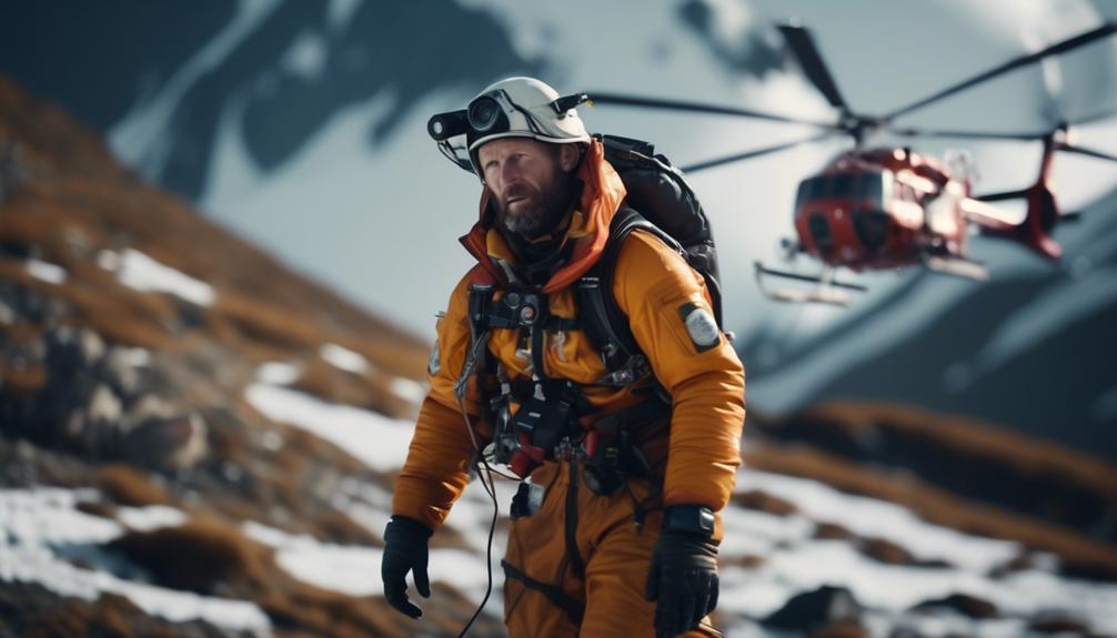
In remote expeditions, the most critical aspect is ensuring the swift response to emergencies and the safety of everyone involved. Satellite technology stands out as a crucial tool in improving both emergency responses and safety during these adventures.
A significant advantage of using satellite technology is its ability to provide remote medical advice. With satellite communication, expedition groups can get in touch with medical experts who offer immediate advice and support in case of a health crisis. This kind of instant help is invaluable, especially when access to medical facilities is scarce or completely absent.
Moreover, satellite technology is essential for organizing emergency evacuations during remote expeditions. When a severe injury occurs or there's a life-threatening emergency, satellite communication can be the lifeline for requesting urgent evacuation. This feature is especially crucial in locations where traditional communication methods like phone lines or the internet are out of reach. Using satellite phones or emergency signals, rescue teams can be alerted and receive vital information to locate and perform the evacuation of individuals in distress.
'Ensuring the safety of adventurers in remote locations necessitates a blend of expert knowledge and the right technology. Satellite technology provides a bridge between remote expeditions and the critical assistance they may need,' highlights the significance of incorporating advanced technology in emergency planning and response efforts.
Access to Essential Weather Updates
Gaining access to current weather information is vital for the well-being and successful outcome of remote expeditions. The advancement in satellite technology has significantly improved how explorers stay updated on weather conditions, regardless of their location relative to populated areas.
Here's a closer look at the benefits of satellite technology in keeping adventurers informed about the weather:
- Weather Prediction:
Satellites play a pivotal role in predicting the weather. They observe the atmosphere and gather information in real-time, aiding scientists in making precise forecasts about weather patterns in isolated regions. This information is critical for adventurers, allowing them to plan their journeys with an understanding of what weather to expect and prepare for possible weather-induced obstacles.
- Readiness for Natural Disasters:
The importance of satellite technology extends to preparing for natural disasters. It equips exploration teams with advance notifications of severe weather conditions like hurricanes, storms, or heavy snowfalls. Being forewarned about these dangerous conditions enables adventurers to take necessary measures and modify their plans to prioritize their safety.
- Rapid Weather Updates:
Thanks to satellite communication systems, those on remote expeditions can get weather updates swiftly. With devices such as satellite phones or data terminals, explorers have immediate access to the latest weather forecasts and warnings. This access supports them in making timely decisions while out in the field.
Understanding how satellite technology aids in weather forecasting and disaster preparedness can significantly impact the safety and planning of remote expeditions. As an explorer, it's akin to having a vital tool in your toolkit, ensuring you're always one step ahead of the weather.
"'Satellite technology has transformed the way we perceive and prepare for the Earth's ever-changing mood, turning the unpredictable into something we can navigate with confidence,' says a seasoned explorer."
This quote underscores the transformative power of satellite technology in the realm of adventure and exploration.
Enhanced Research and Data Collection
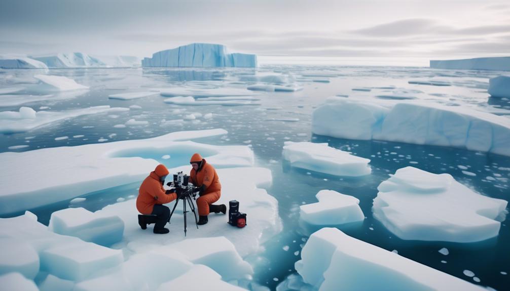
Satellites with remote sensing abilities have transformed how scientists gather information in areas that are hard to reach. These satellites can capture high-resolution imagery and collect important data from afar, thereby opening new possibilities for researchers across various fields.
A primary advantage of satellite technology is its contribution to more accurate mapping. Previously, researchers had to depend on outdated maps or undertake expensive and time-consuming surveys to collect data. Now, thanks to satellite imagery, scientists have access to up-to-date, detailed maps of even the most secluded places. This advancement not only conserves time and resources but also facilitates more precise analysis and decisions.
Additionally, satellite technology supports the observation of environmental changes over periods. Capturing images at consistent intervals enables scientists to monitor the impacts of climate change, deforestation, and other environmental issues on isolated regions. This information is vital for comprehending the effects of human actions on the Earth and for formulating successful conservation policies.
'Satellite technology has not just changed the map of research; it's redrawn it entirely, allowing us to see the Earth with new eyes.'
Conclusion
Satellite technology significantly contributes to the success of remote expeditions by offering dependable communication, real-time tracking and navigation, emergency response and safety measures, access to crucial weather updates, and improved research and data collection tools.
Understanding the role of satellite technology in remote expeditions
Satellite technology has evolved into a fundamental tool for remote expeditions. Its capability to offer dependable communication is vital, allowing teams to stay in contact regardless of their location. This connectivity is not only essential for coordination and logistical planning but also provides a lifeline in emergency situations.
Real-time tracking and navigation features powered by satellites enable precise positioning, helping explorers and researchers navigate challenging terrains with confidence. This accuracy is particularly crucial in environments where traditional maps may fall short or in situations that require swift decision-making.
Emergency response and safety measures are another critical aspect. Satellite technology can quickly relay distress signals to rescue teams, significantly reducing response times during crises. This reassurance allows expedition members to push boundaries with an added layer of security.
Access to up-to-date weather updates plays a pivotal role in planning and executing remote expeditions. Sudden weather changes can pose significant risks; hence, having timely information can be lifesaving. This access helps teams make informed decisions, ensuring their well-being.
Finally, satellite technology greatly aids in research and data collection. It enables the gathering of comprehensive data from remote areas, contributing to our understanding of these regions. This information is invaluable for scientific studies and environmental monitoring, offering insights that would be challenging to obtain otherwise.
"While the initial investment in satellite technology might seem daunting, the payoff in terms of safety, connectivity, and research capabilities is unmatched. It's a bridge to the unknown, offering a glimpse into the uncharted with a measure of security and wisdom," encapsulates the sentiment surrounding this technology in remote expeditions.
In summary, satellite technology is at the heart of modern exploratory and research efforts in remote areas. Its benefits are clear, from safeguarding teams with reliable communication and safety features to enabling groundbreaking research. As we continue to push the boundaries of human exploration, satellite technology will remain a key ally, making the once unreachable within grasp.